Ara
Toplam kayıt 4, listelenen: 1-4
FORSAT: a 3D forest monitoring system for cover mapping and volumetric 3D change detection
(Taylor and Francis Ltd., 2020-08-02)
A 3D forest monitoring system, called FORSAT (a satellite very high resolution image processing platform for forest assessment), was developed for the extraction of 3D geometric forest information from very high resolution ...
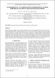
Determining pull - out deformations of bonded metal anchors embedded in concrete by means of photogrammetry
(International Society for Photogrammetry and Remote Sensing, 2012)
Chemical anchorages are applied in many engineering implementations, particularly strengthening of reinforced concrete structures. During strengthening procedure; chemical anchorages should be tested, since they supply to ...
A precision estimation method for volumetric changes
(IEEE, 2019-06)
Earth surface changes are often computed by comparing the sequences of digital elevation models (DEMs) so called the DEM of difference (DoD) method. We present an operational DEM generation, co-registration and DoD comparison ...
Pre- and post-fire comparison of forest areas in 3D
(Springer Berlin Heidelberg, 2019)
A satellite processing platform for high resolution forest assessment (FORSAT) was developed. It generates the digital surface models (DSMs) of the forest canopy by advanced processing of the very-high resolution (VHR) ...


