Ara
Toplam kayıt 18, listelenen: 1-10
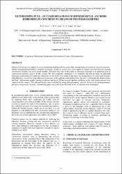
Determining pull - out deformations of bonded metal anchors embedded in concrete by means of photogrammetry
(International Society for Photogrammetry and Remote Sensing, 2012)
Chemical anchorages are applied in many engineering implementations, particularly strengthening of reinforced concrete structures. During strengthening procedure; chemical anchorages should be tested, since they supply to ...

3-Dimensional pre- and post-fire comparison of forest areas
(International Society for Photogrammetry and Remote Sensing, 2018-03-06)
Forest agencies give special attention to forest fires where post-disaster loss can rarely be gauged in a quick and economic way unless an appropriate technology is adopted. Determination of the planimetric and volumetric ...
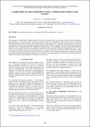
Laboratory flume experiment with a coded structured light system
(International Society for Photogrammetry and Remote Sensing, 2012)
The topography of inland deltas is influenced chiefly by the water-sediment balance in distributary channels and local evaporation and seepage rates. In a previous study, a reduced complexity model has been applied to ...
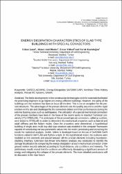
Energy dissipation characteristics of slab type buildings with special connectors
(National Technical University of Athen, 2015-05-25)
The latest developments in the construction technologies and the materials facilitated the practicing engineers to go higher and energy-efficient buildings. However, the safety of the buildings and the residents has been ...
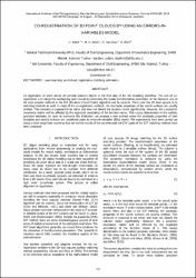
Co-registration of 3d point clouds by using an errors-in-variables model
(Copernicus Gesellschaft MBH, 2012-08-25)
Co-registration of point clouds of partially scanned objects is the first step of the 3D modeling workflow. The aim of co-registration is to merge the overlapping point clouds by estimating the spatial transformation ...

Preface
(Springer Science and Business Media Deutschland GmbH, 2020)
[No abstract available]
A generic point error model for TLS derived point clouds
(SPIE-Int Soc Optical Engineering, 2017-06-26)
This work aims at developing a generic and anisotropic point error model, which is capable of computing magnitude and direction of a priori random errors, described in the form of error ellipsoids for each individual point ...
Pre- and post-fire comparison of forest areas in 3D
(Springer Berlin Heidelberg, 2019)
A satellite processing platform for high resolution forest assessment (FORSAT) was developed. It generates the digital surface models (DSMs) of the forest canopy by advanced processing of the very-high resolution (VHR) ...

An emprical point error model for TLS derived point clouds
(International Society for Photogrammetry and Remote Sensing, 2016)
The random error pattern of point clouds has significant effect on the quality of final 3D model. The magnitude and distribution of random errors should be modelled numerically. This work aims at developing such an anisotropic ...
Shapes and statistics of the rogue waves generated by chaotic ocean current
(International Society of Offshore and Polar Engineers, 2016)
In this study we discuss the shapes and statistics of the rogue (freak) waves emerging due to wave-current interactions. With this purpose, we use a simple governing equation which is a nonlinear Schrödinger equation (NLSE) ...


